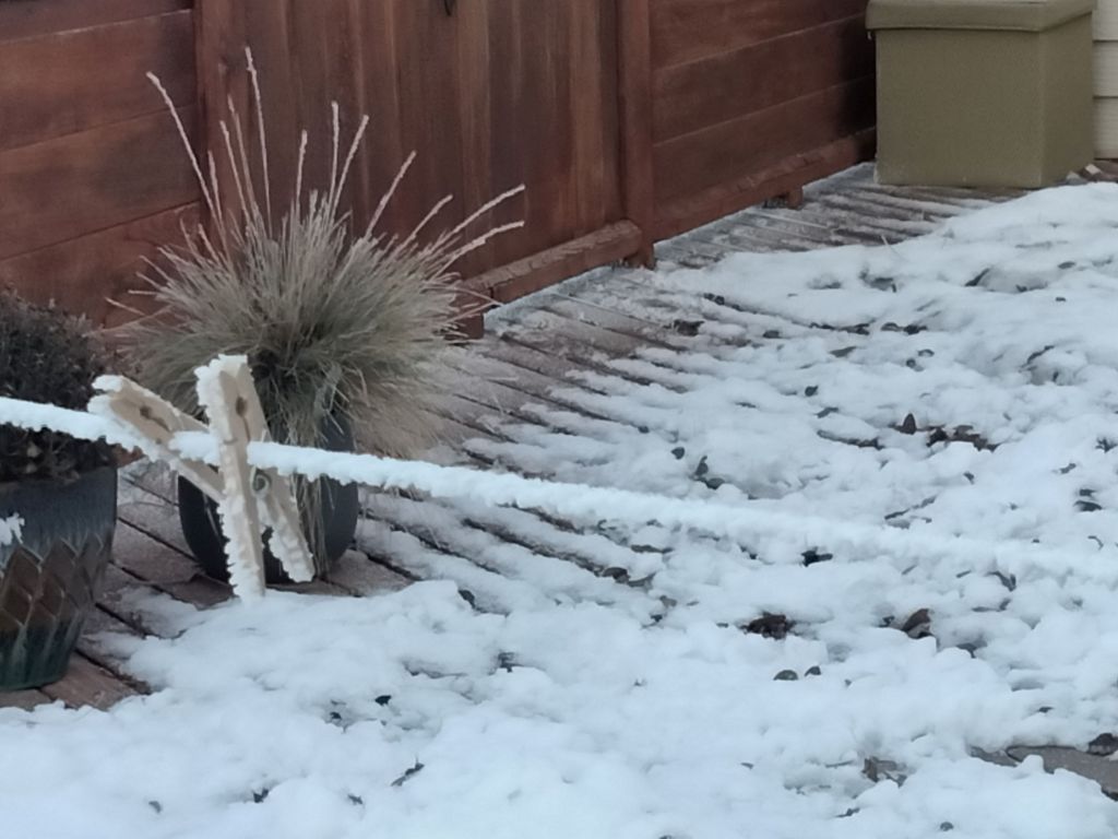
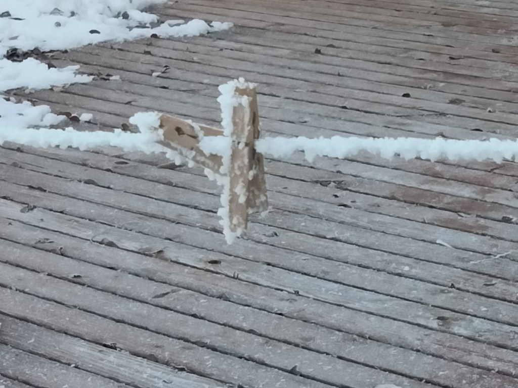
On the clothesline and clothespins
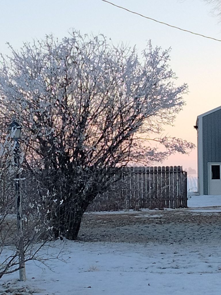
On a bush

On the clothesline and clothespins
On a bush
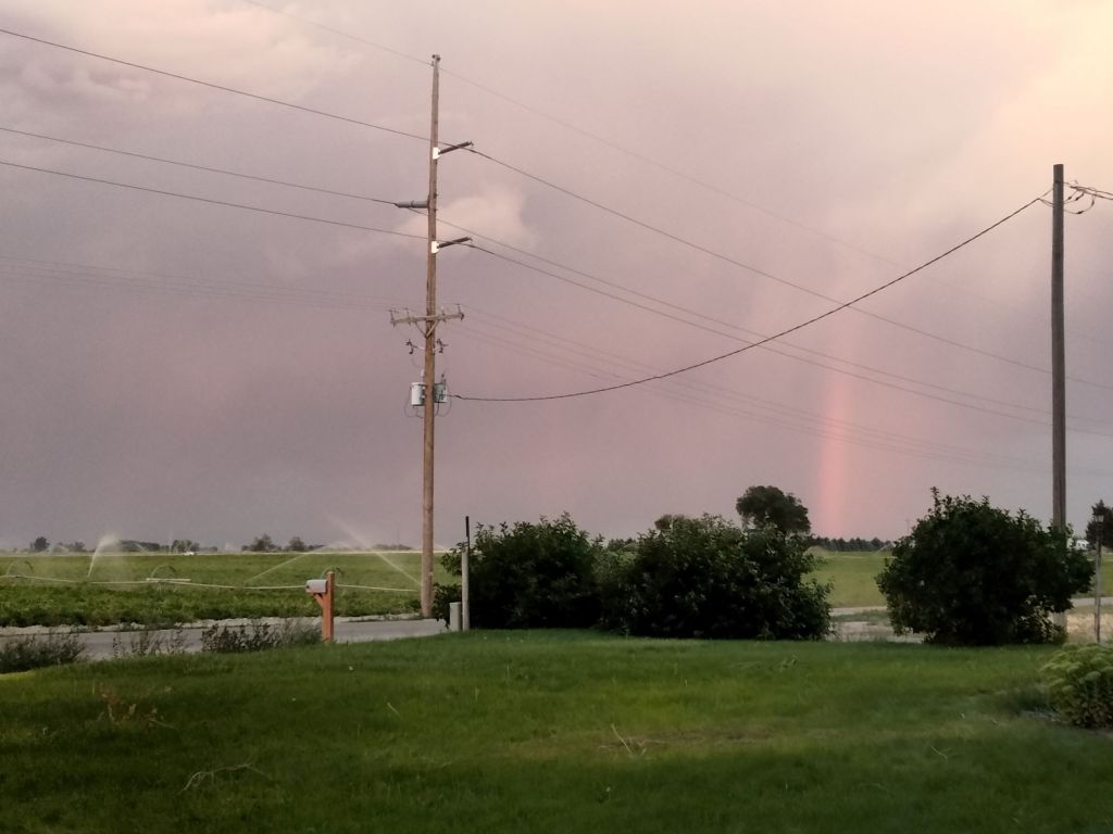
Yes, I know it is no longer late summer, but I have all these great pictures from that time that I want to share.
Here is a stormy evening in farm country.


I want to paint all this stuff some day, but I don’t have time right now.
Storytime:
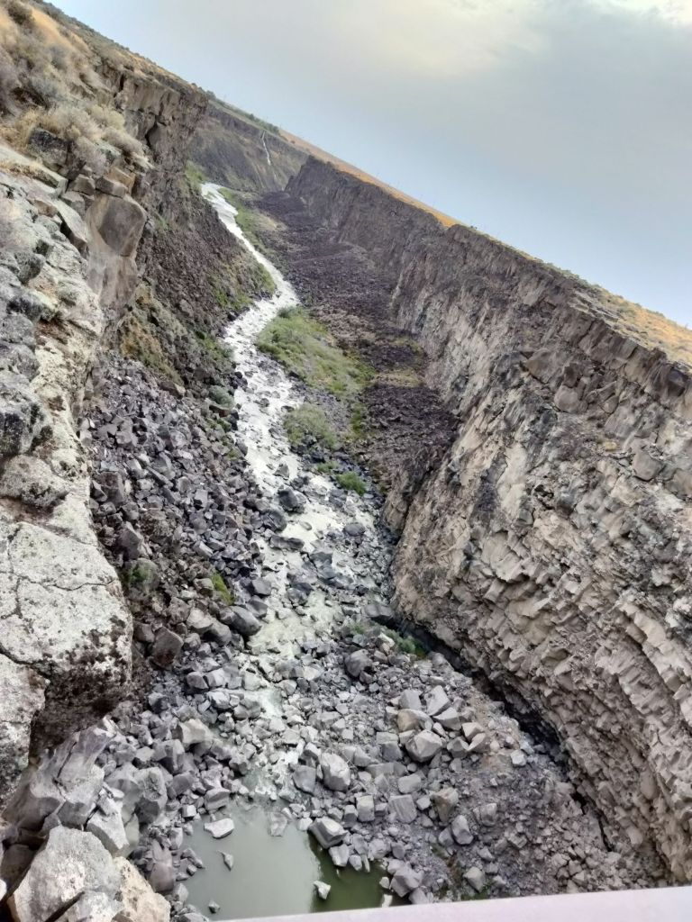
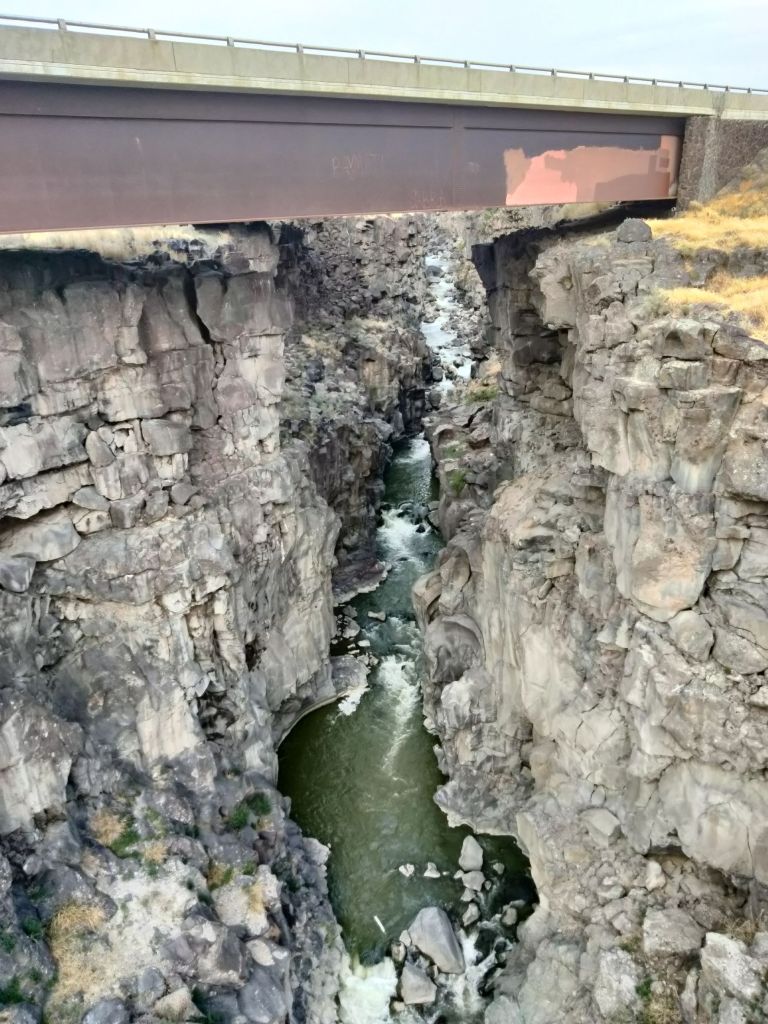
When I was a student at Boise State University, I didn’t have a car. I lived 4 hours from my parents’ house. (In a Western state, 4 hours away means 4 hours of driving an average of 60 mph on the highway, not 4 hours of sitting in traffic as you go through various urban areas.) So, on holidays, I often found myself ride sharing with other students who were heading towards the eastern part of the state. That meant we took the highway pictured above.
I must have passed over Malad Gorge dozens of times before I noticed it.
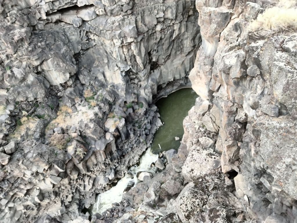
As you can see above, the gorge is dramatic and steep, but at the point where it intersects the highway, very narrow. The amount of time the car spends actually crossing the gorge amounts to seconds.
Finally, on one of the car trips I happened to be looking up from my ever-present book (fiction, of course … I wouldn’t be reading a coursebook!) at just the right moment to spot this amazing gorge. After that, I started keeping an eye out for it.

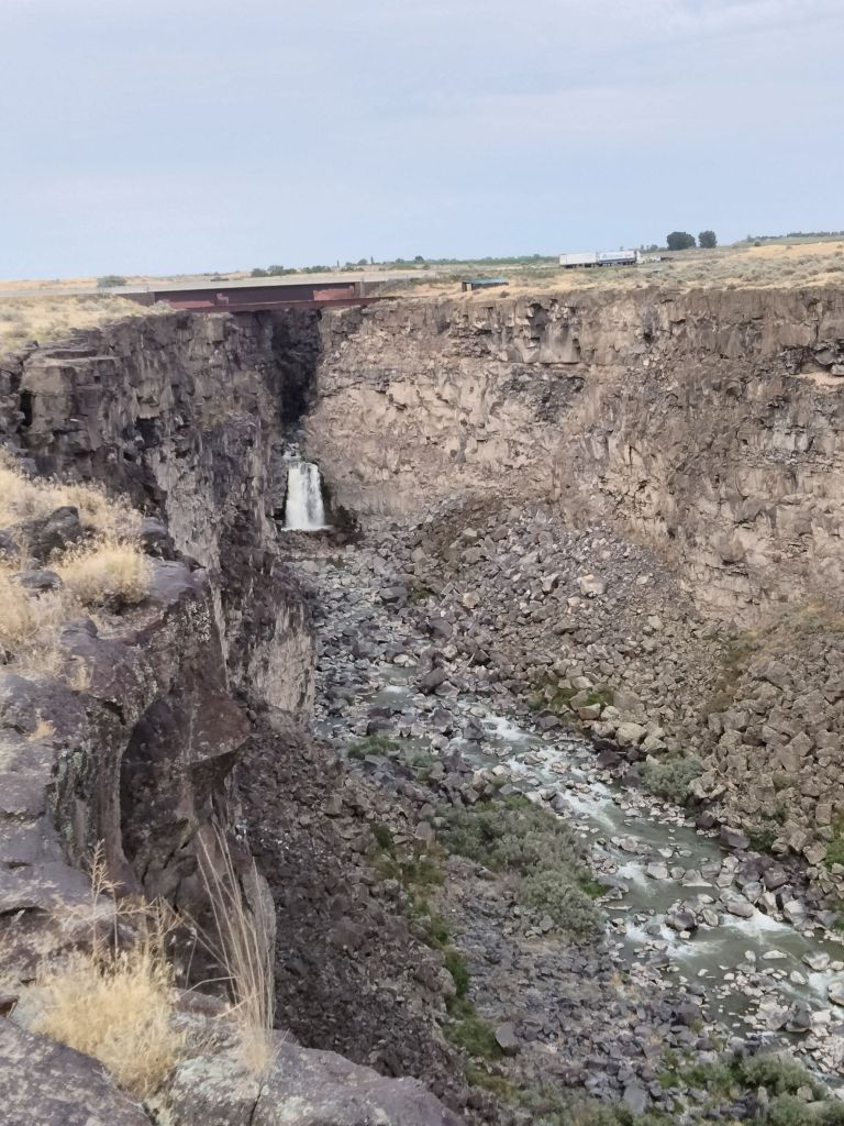
It broadens out to the south.
In the years since, I have learned that you can get off at an exit and find a parking lot, park, and walking trail with a footbridge that takes you across the gorge. It’s from there that we got these pictures.
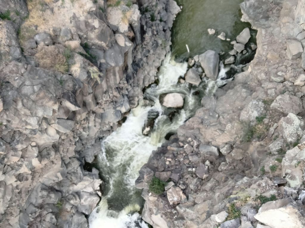
I’d hate to have been the first person, recklessly galloping along on a horse, who found this thing.
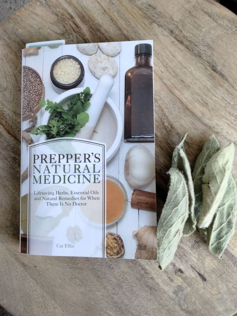
I bought this book to use a reference for my character Zillah. She has a built-up knowledge of herbal medicines and of emergency field medical procedures, but I don’t. I used this book to make sure that when she was using a remedy, I had the right plant. (I also had to look up whether the plant in question was native to the region of the world in which she was traveling.)
It turns out that, for almost any over-the-counter medicine and many prescription ones as well, there is a plant that will help with the symptom. God put this stuff in the world for us to find and use. He’s smart that way.
The book is great as a quick look-up reference, but as it turns out, there is also a benefit from reading it front to back. Then you will learn about the methods of collection, storage, and preparation, such as the difference between a tisane (used medicinally) and a tea (just for drinking); an infusion (made by steeping the delicate parts of the plant) and a decoction (made by boiling the hard parts of the plant). There is also basic medical and first-aid information, though obviously, to really know your stuff about that, you will need a much longer volume (such as Where There Is No Doctor), and ideally years of experience and a ton of luck as well.
I am already regretting not reading it front to back before using it as a resource in writing my novels. (It turns out that to make a tincture, you need to steep the herb in alcohol. Where on earth did Zillah get alcohol? She’s full of surprises.)
Speaking of surprises, it might be best not to wait until the apocalypse and then just go out and grab an herb for medicine (although in some cases that might be better than nothing). You’ve got to collect, dry, label, store, and refresh your collection, and also of course you’ve got to know what you’re doing. So, this is a very useful book for understanding the steepness of the learning curve.
“Mushrooms can ‘talk’ to each other with up to 50 words.“
I really feel this needs no comment.

Big Southern Butte is not really a butte, more of a freestanding hill or mountain. But that’s what we call it around here, and in this post it will be abbreviated BSB.
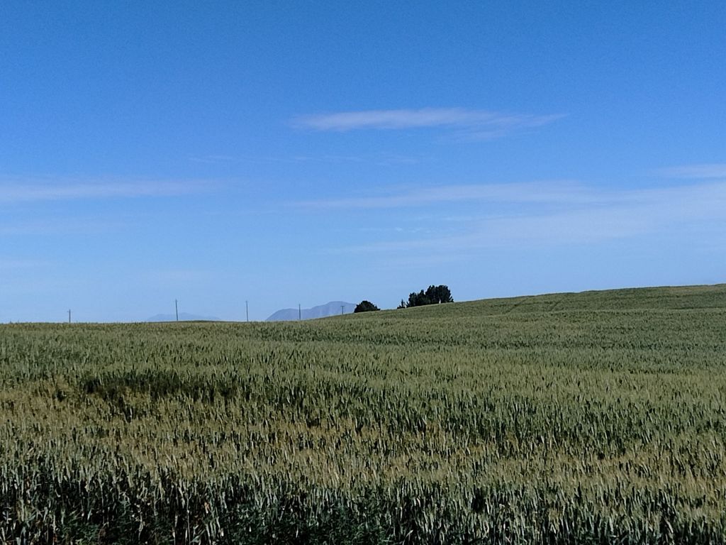
BSB is one of the biggest perks of living in the particular farmhouse where we do. Our house is perched on a rather high spot in the midst of relatively flat farms and desert. Looking north from our yard, you can see 30 miles to Big Southern Butte, and on clear days, to the Sawtooths beyond. It looks best around sunset, when it and the Twin Buttes to east of it are lit dramatically and often attract their own clouds. I have been trying to photograph it since we moved here, usually without much success, but in the picture of our downed tree above, you can see BSB in the distance. And here it is looming over the wheatfields:
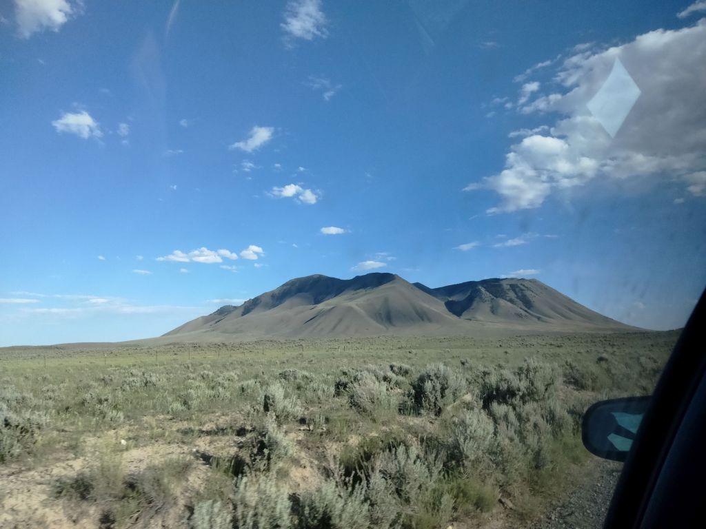
A few weeks ago, the explorer to whom I am married expressed a desire to drive up BSB and then hike the last hundred yards to the top. He had read some travel materials that said the road was passable. (bum bum bum) Of course I had to come along, because it has long been my dream to actually go to the butte.
The road leading to BSB from Atomic City is dirt with patches of basalt rock sticking out. We approached our goal from the southeast and drove completely around it, which was satisfying. There are quite a few roads tracks in the area, but all of them are better suited for pickup, jeep, or ATV. Above is a view of the butte from the North, as we were leaving.
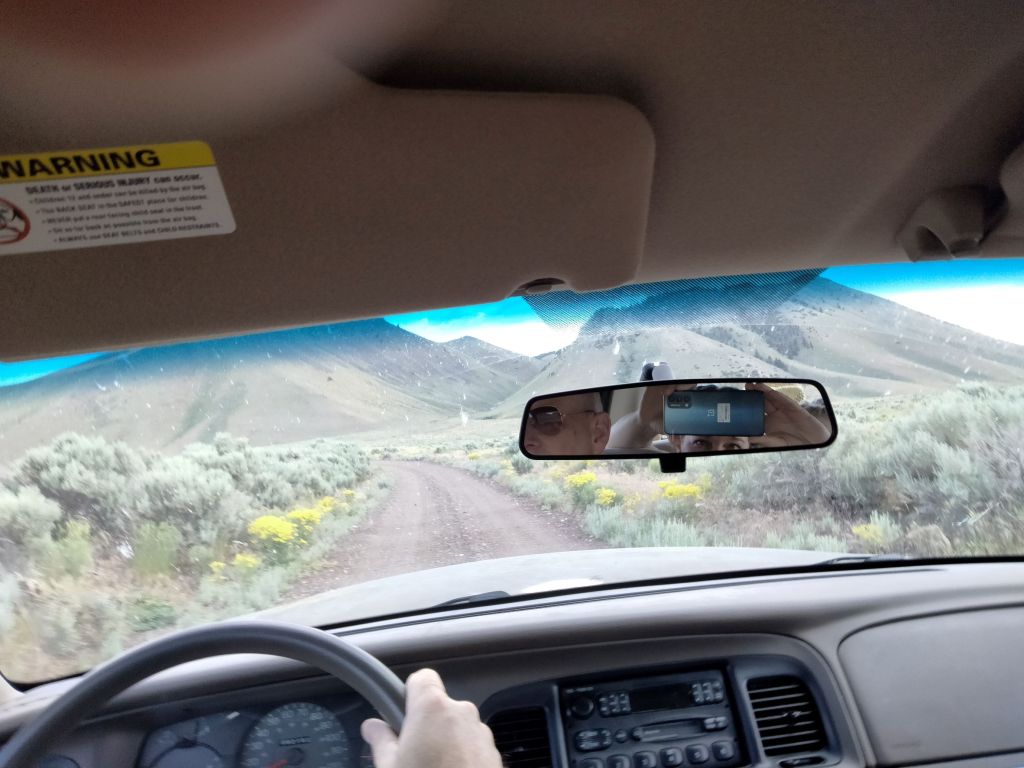
The road that supposedly led to the top of the butte enters it via a crack (the “butte crack”) on the northwest side. Here we are approaching it. You can see the terrain, which is basically “high desert,” with rabbitbrush and silver sage.
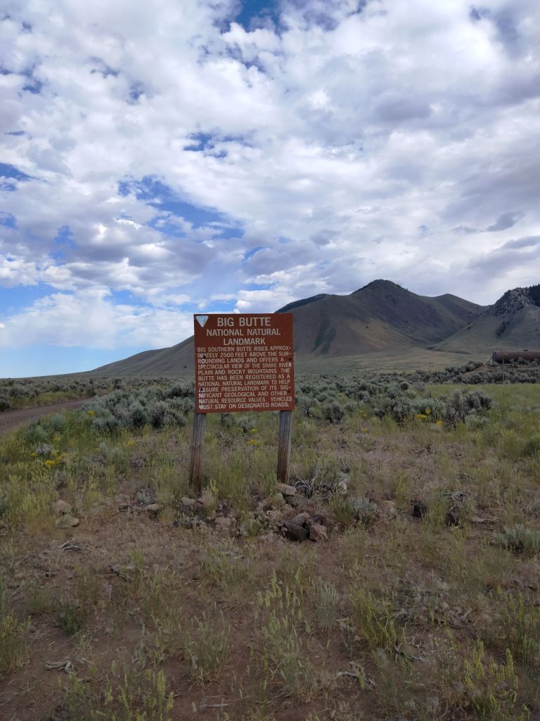
Here are the butte’s bona fides.
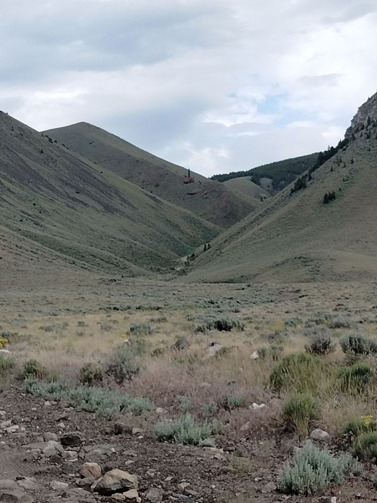
We drove a ways into this crack, but whatever travel articles said the road was good must have been written a season or two ago. My husband did an amazing job maneuvering our sedan over many patches of rock, but at last we reached a point where it was pretty clear we could get high-centered if we were to continue.
Luckily, that point was partway up the side of the butte (past the first turn you see in the photo above) and there was a pull-out place to park. Some of our party hiked a ways farther up the trail, but did not go all the way to the top as it would have been 3 miles from there.
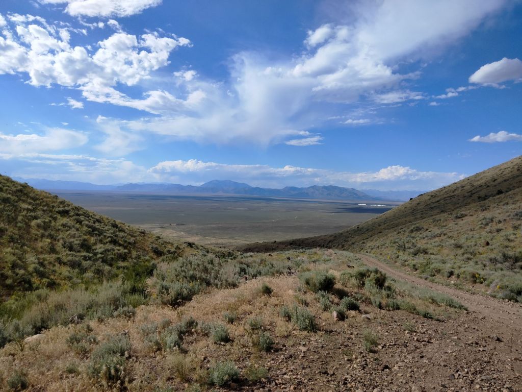
Here are the Sawtooths as seen from our parking spot. My husband says these are not the actual Sawtooths. I understood the whole region was called the Sawtooths, and then there were sub-ranges within the region, so I don’t know. Even with this little bit of height, you can start to see into the ranges. Back here are the Pioneer Mountains and the Lost River Range, among others.
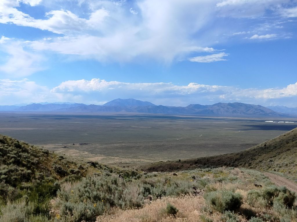
It’s amazing what a difference results from going a mere 30 miles north and attaining just a little bit of height. From our house, it looks as if there is just one large mountain beyond BSB. From BSB itself, you can see that there is a whole range, and we plain-dwellers can just see the tallest.
For now, I’m content with having seen BSB up close. I would like to go to the top some day, but that will have to wait until we have, or borrow, a more suitable vehicle. In the meantime, at least we don’t have to say that we lived near a topographical wonder and never touched it.